Chicago Bike Routes
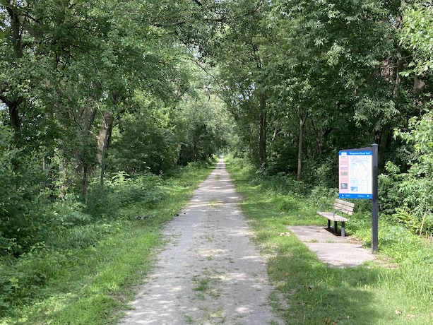
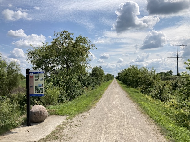
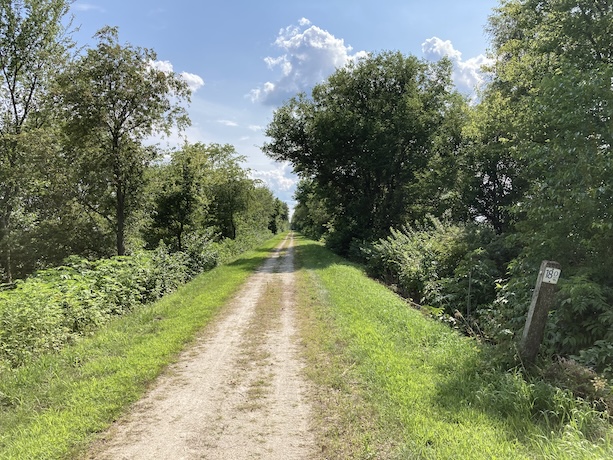
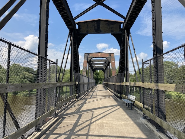
Wauponsee Glacial Trail
Posted:5/29/2022 Updated:8/25/2024
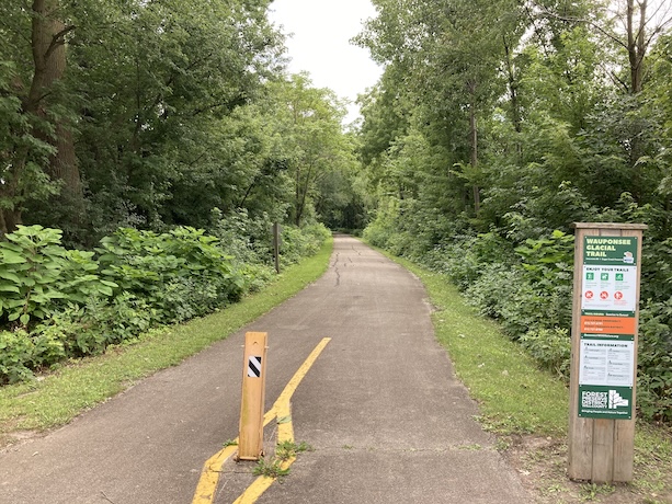
Route Details
- Distance: 22.3 miles
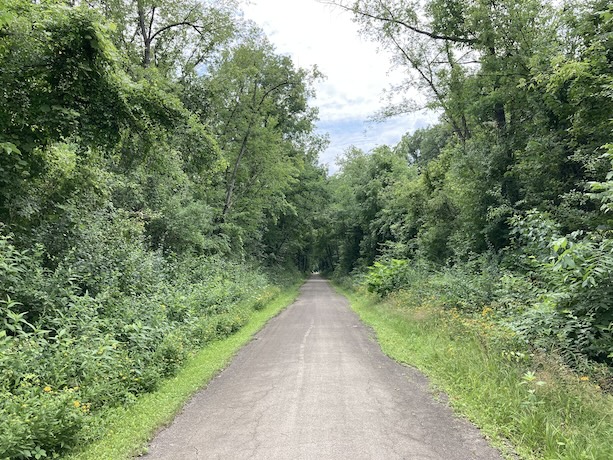
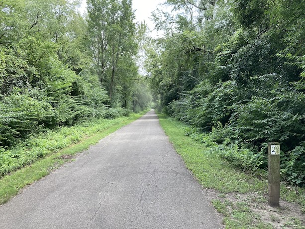
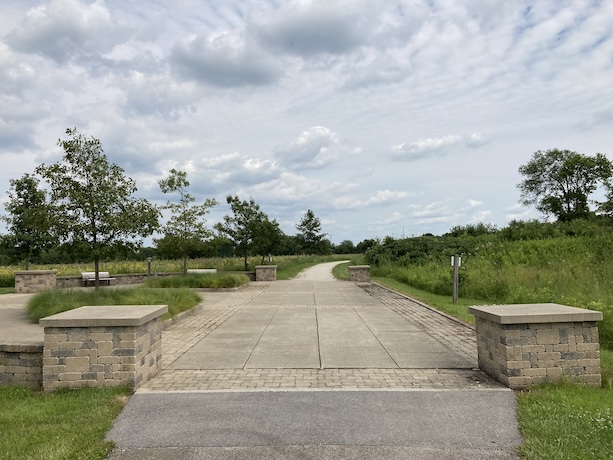
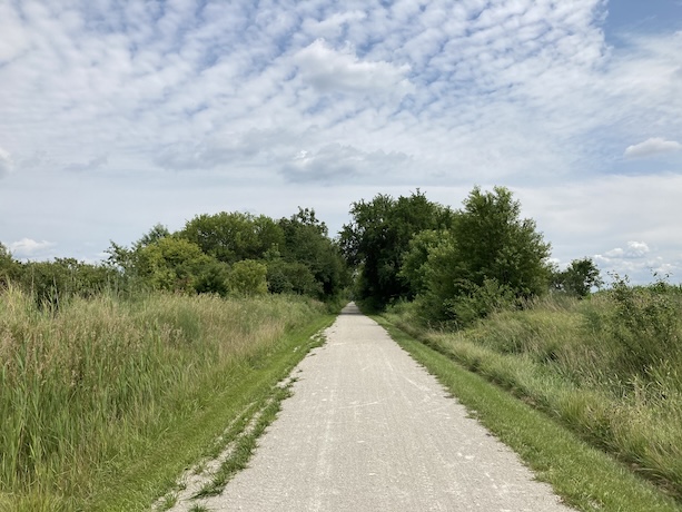
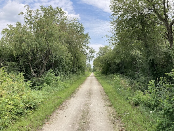
- Route Type: Dirt (a few miles on northern portion are paved)
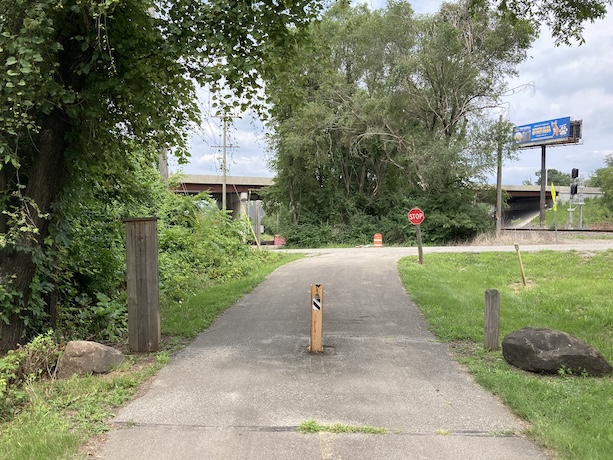
- Northern Endpoint Landmark: Rowell St and Interstate 80 intersection in Joliet, IL
- Southern Endpoint Landmark: Washington St and Rt 113 intersection in Custer Park, IL
- Communities on Route: Joliet, Preston Heights, Manhattan, Symerton, Ballou, Ritchie, Custer Park
Other Nearby Routes
Zoomable Map: Wauponsee Glacial Trail
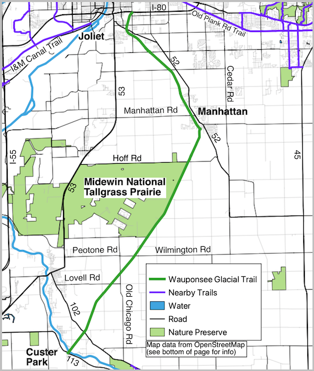
Trail Map: Wauponsee Glacial Trail
Map data from OpenStreetMap has been used to generate the route maps on this website. OpenStreetMap data is available under the Open Data Commons Open Database License. The OpenStreetMap copyright page provides relevent copyright and licensing information.
