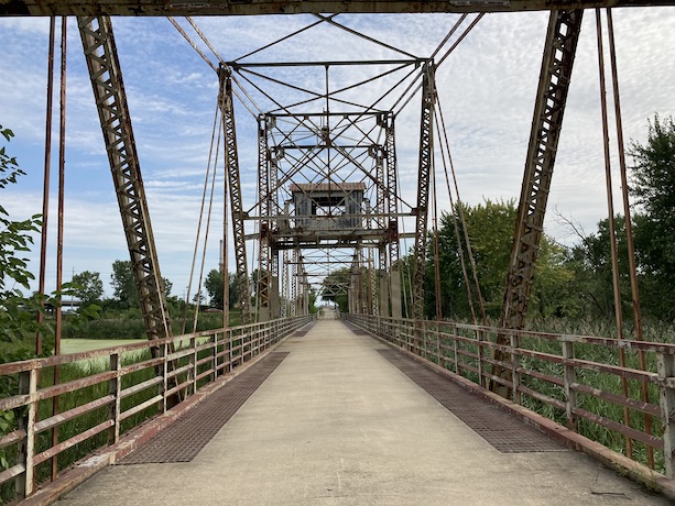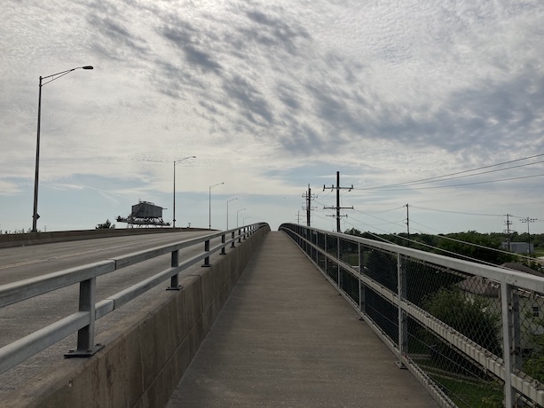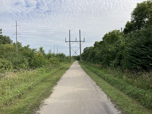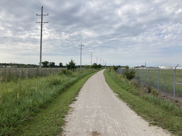
Chicago Bike Routes
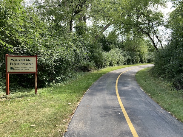
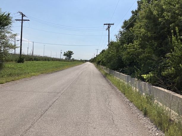
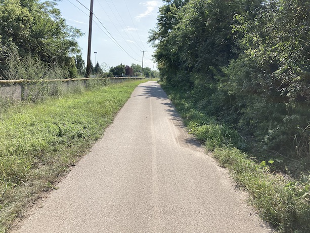
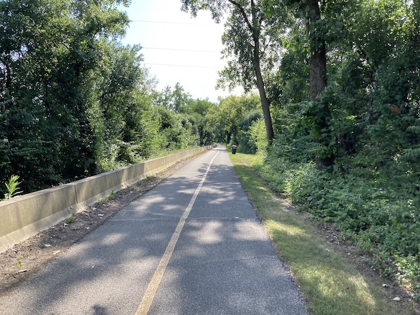
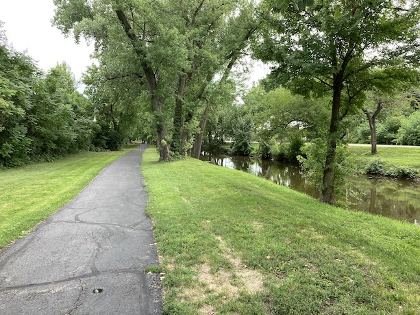
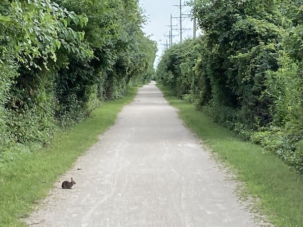
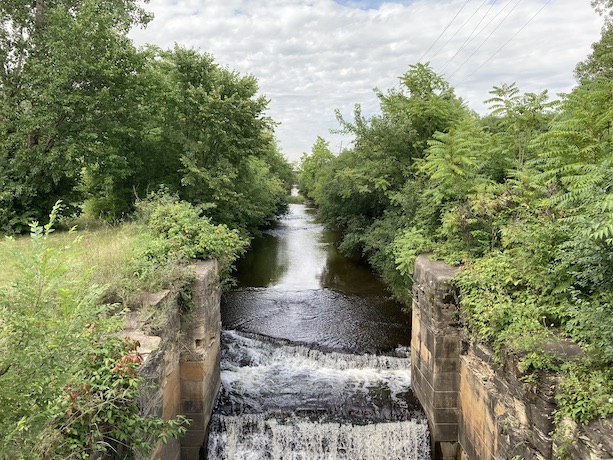
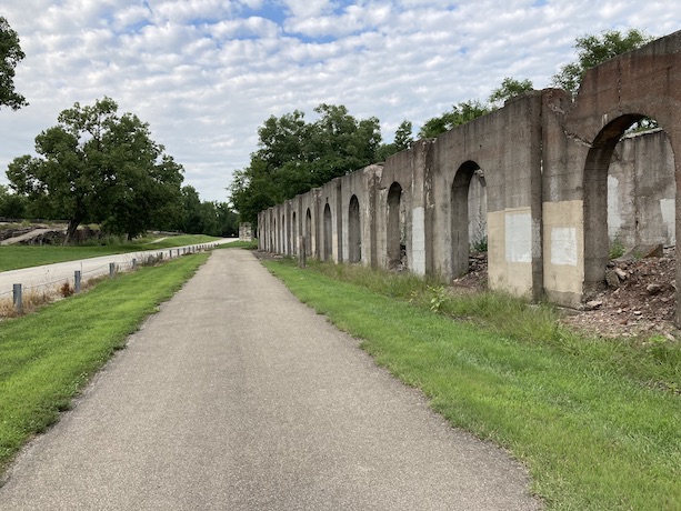
Centennial Trail
8/13/2022
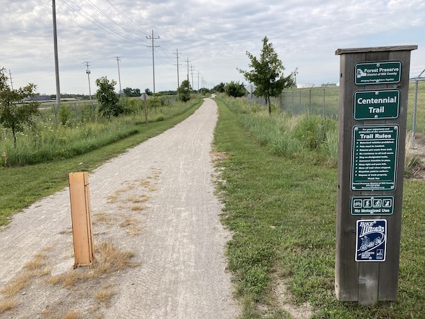
Route Details
- Distance: 22.5 miles
- Route Type: Paved & dirt sections
- Northern Endpoint Landmark: Intersection of Routes 171 and 45 in Willow Springs
- Southern Endpoint Landmark: Downtown Joliet
- Communities on Route: Willow Springs, Lemont, Romeoville, Lockport, Joliet
Other Nearby Routes
Zoomable Map: Centennial Trail
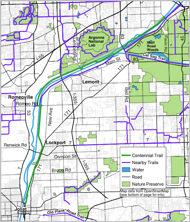
Trail Map: Centennial Trail
Map data from OpenStreetMap has been used to generate the route maps on this website. OpenStreetMap data is available under the Open Data Commons Open Database License. The OpenStreetMap copyright page provides relevent copyright and licensing information.
Several Javascript libraries have been used to create features for this website. For more information, visit the About page.
