Chicago Bike Routes
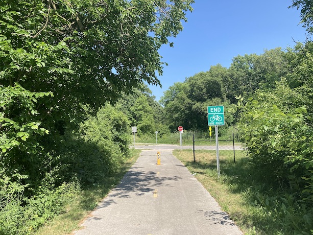
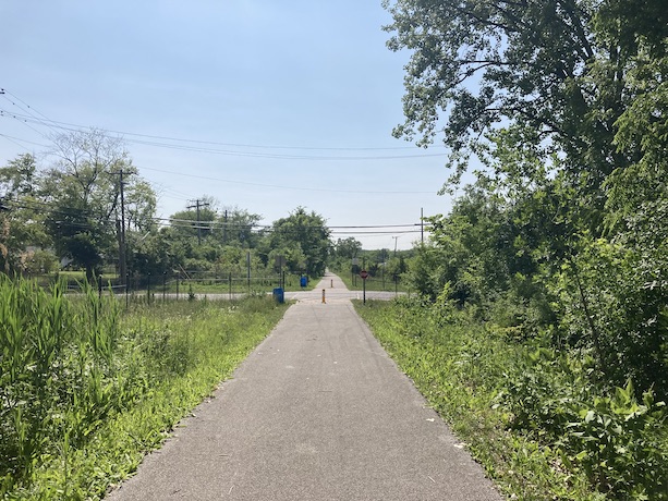
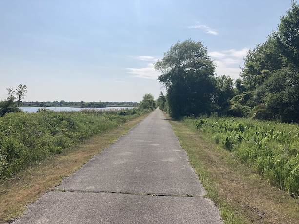
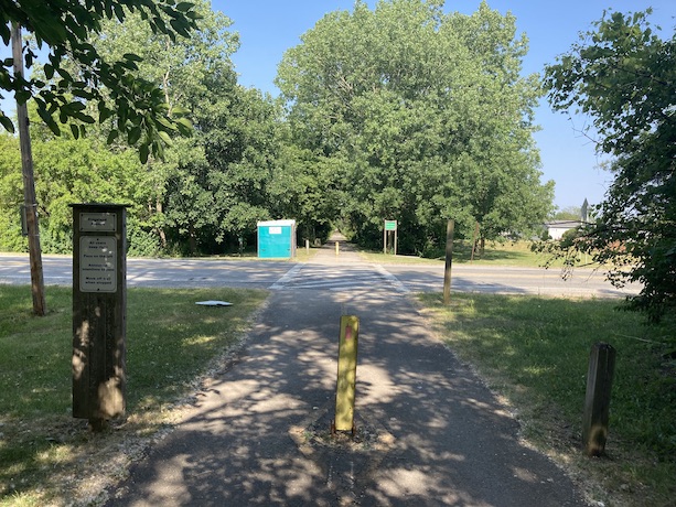
Old Plank Road Trail
6/11/2023
Route Details
- Distance: 21.6 miles
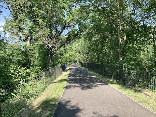
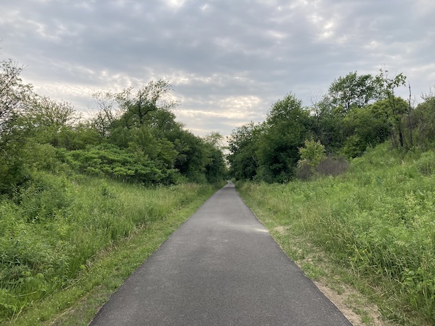
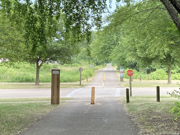
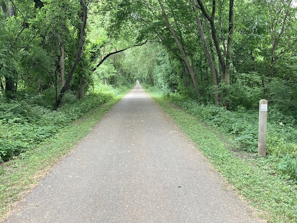
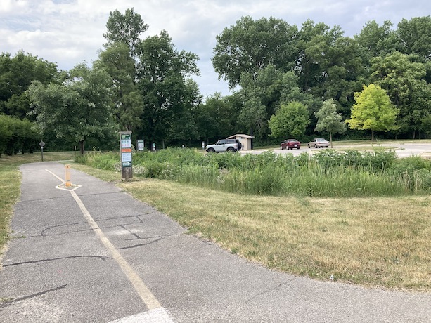
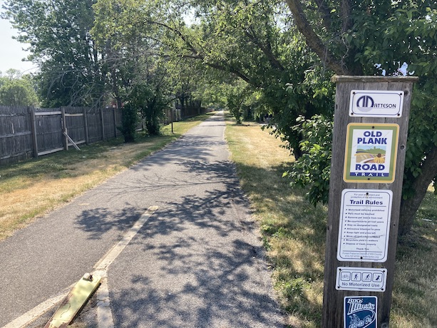
- Route Type: Paved Bike/Walking Trail. No motor traffic except at some street intersections.
- Western Endpoint Landmark: Elmhurst Cemetery, Joliet, IL
- Eastern Endpoint Landmark: Indian Hill Woods, Chicago Heights, IL
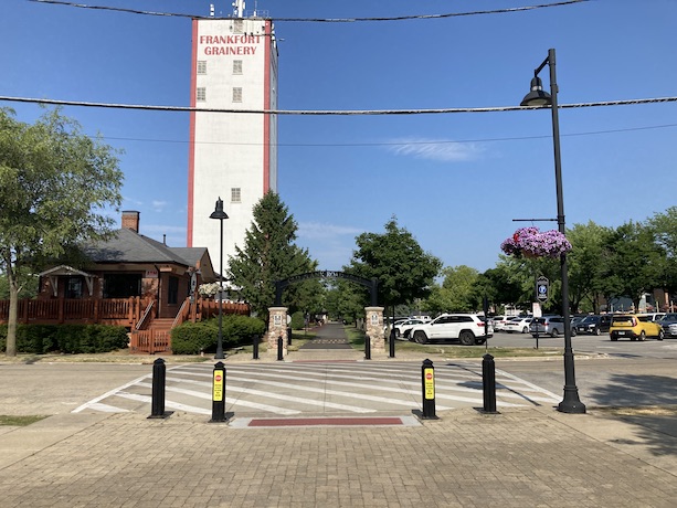
- Communities on Route: Joliet, Ingalls Park, New Lenox, Frankfort, Matteson, Chicago Heights
Other Nearby Routes
Zoomable Map: Old Plank Trail
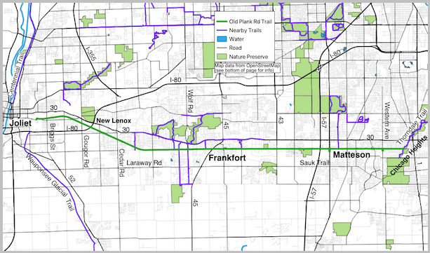
Trail Map: Old Plank Trail
Map data from OpenStreetMap has been used to generate the route maps on this website. OpenStreetMap data is available under the Open Data Commons Open Database License. The OpenStreetMap copyright page provides relevent copyright and licensing information.
Several Javascript libraries have been used to create features for this website. For more information, visit the About page.
