Chicago Bike Routes
Skokie Valley Trail
5/19/2020

Route Details
- Distance: 5 miles
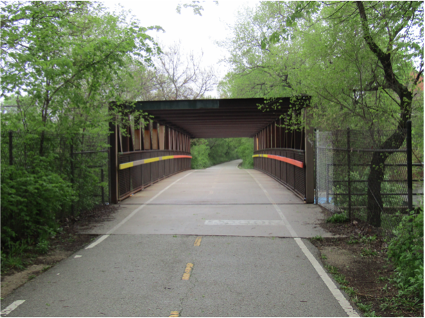
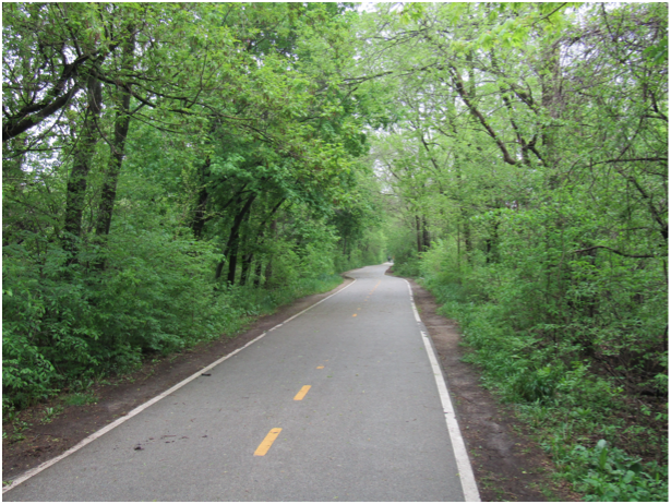
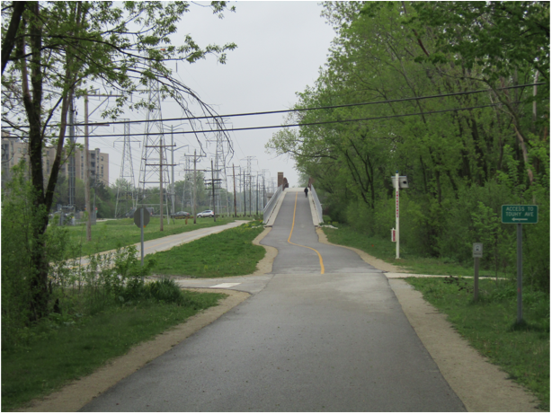
- Route Type: Paved Bike/Walking Trail. No motor traffic except at some street intersections.
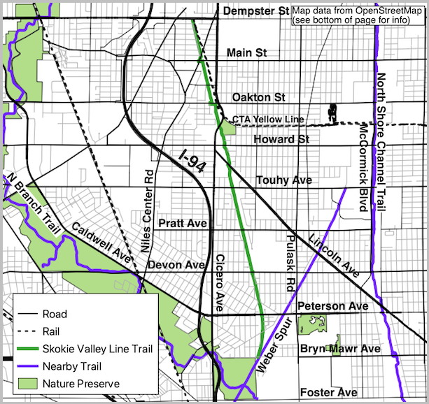
- Northern Endpoint Landmark: Dempster-Skokie CTA Train Station (Yellow Line)
- Southern Endpoint Landmark: Bryn Mawr Ave. and N. Kostner Ave. intersection in Sauganash
- Communities on Route: Skokie, Lincolnwood, Sauganash
Other Nearby Routes
Zoomable Map: Skokie Valley Trail

Trail Map: Skokie Valley Trail
Map data from OpenStreetMap has been used to generate the route maps on this website. OpenStreetMap data is available under the Open Data Commons Open Database License. The OpenStreetMap copyright page provides relevent copyright and licensing information.
Several Javascript libraries have been used to create features for this website. For more information, visit the About page.

