Chicago Bike Routes
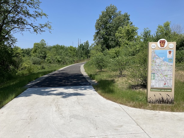
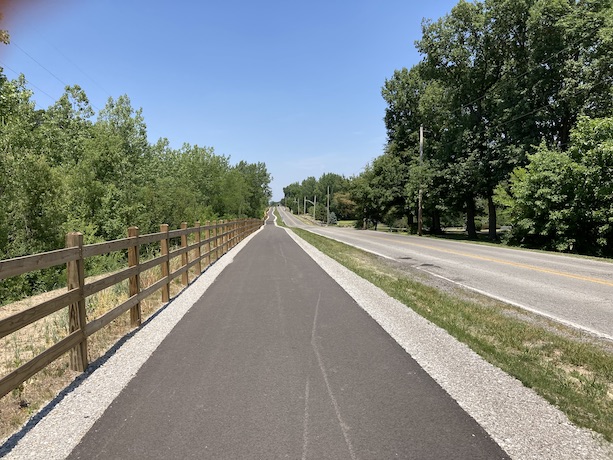
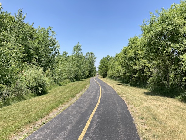
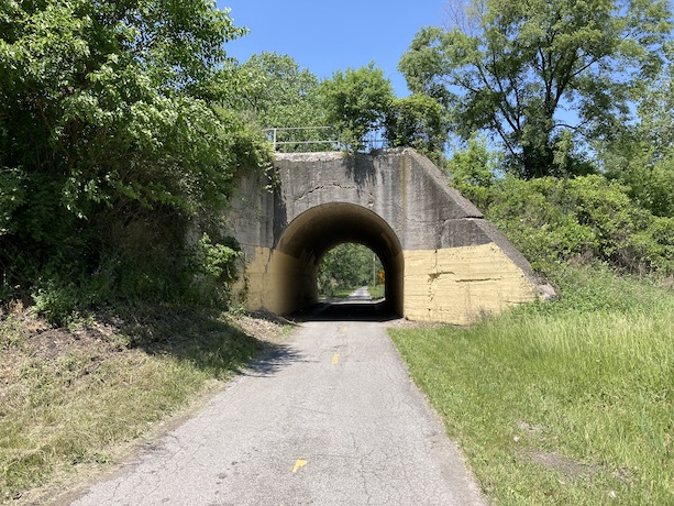
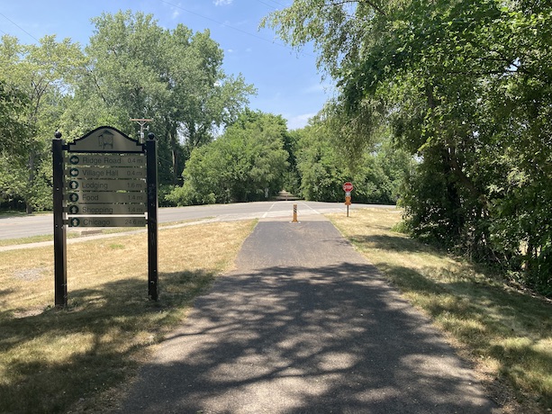
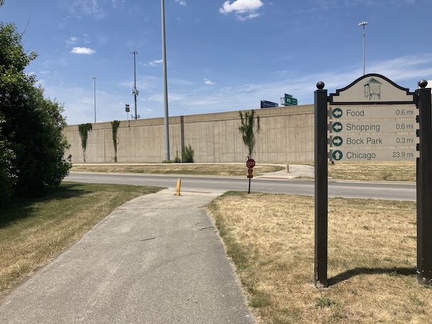
Pennsy Greenway
6/11/2023
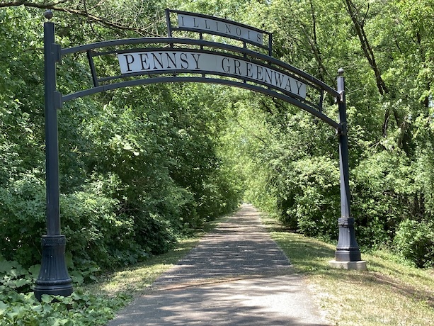
Route Details
- Distance: 11 miles
- Route Type: Paved
- Northern Endpoint Landmark: Bock Park in Lansing, IL
- Southern Endpoint Landmark: Rohrman Park in Schererville, IN
- Communities on Route: Lansing, Munster, Hartsdale, Schererville
Other Nearby Routes
Zoomable Map: Pennsy Greenway
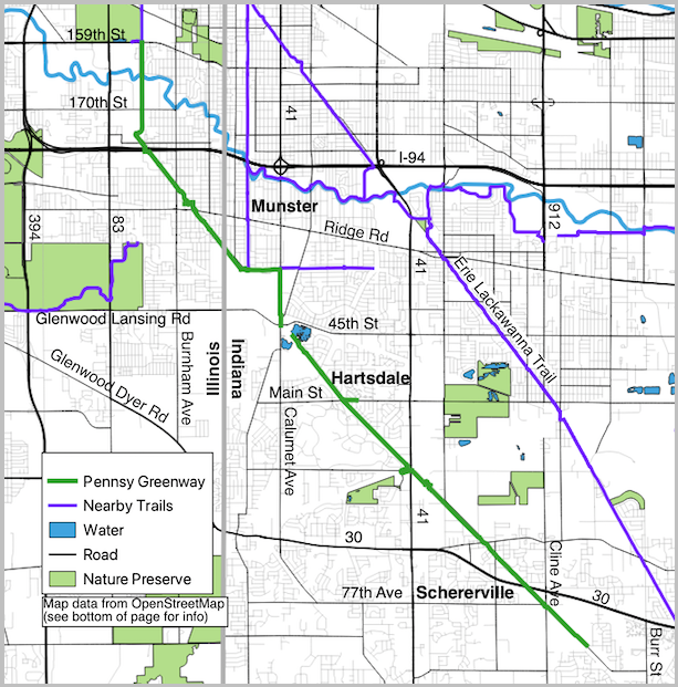
Trail Map: Pennsy Greenway
Map data from OpenStreetMap has been used to generate the route maps on this website. OpenStreetMap data is available under the Open Data Commons Open Database License. The OpenStreetMap copyright page provides relevent copyright and licensing information.
Several Javascript libraries have been used to create features for this website. For more information, visit the About page.
