Chicago Bike Routes
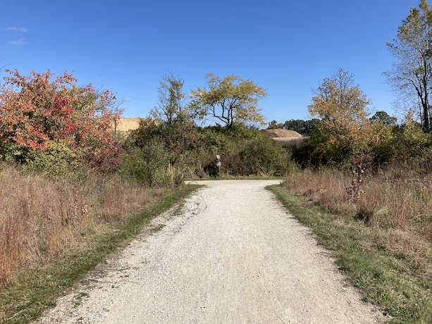
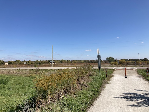
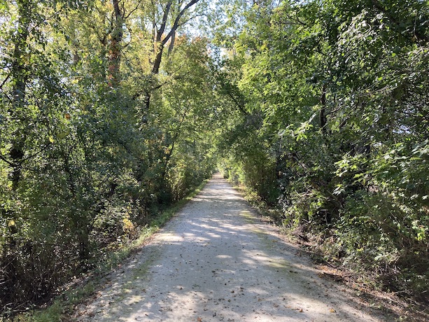
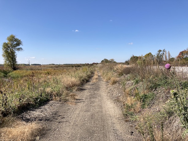
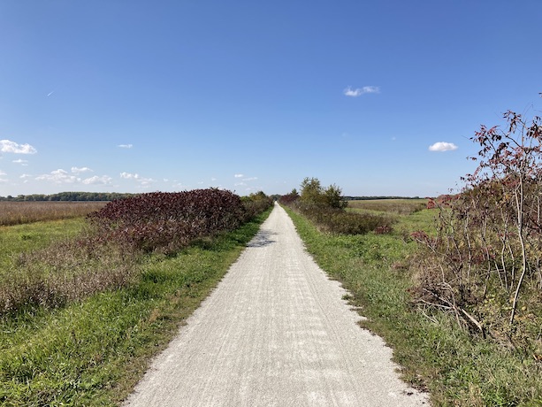
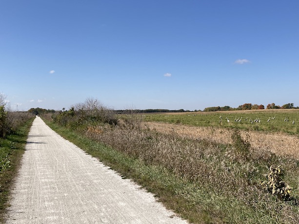
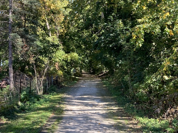
Hebron Trail
10/10/2022
Route Details
- Distance: 6.6 miles
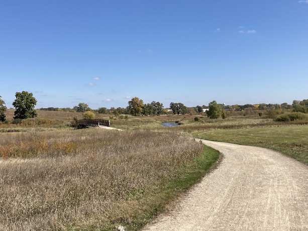
- Route Type: Dirt
- Eastern Endpoint Landmark: North Branch Conservation Area, McHenry County, IL
- Western Endpoint Landmark: Hebron, IL
- Communities on Route: Hebron, Richmond
Other Nearby Routes
Zoomable Map: Hebron Trail
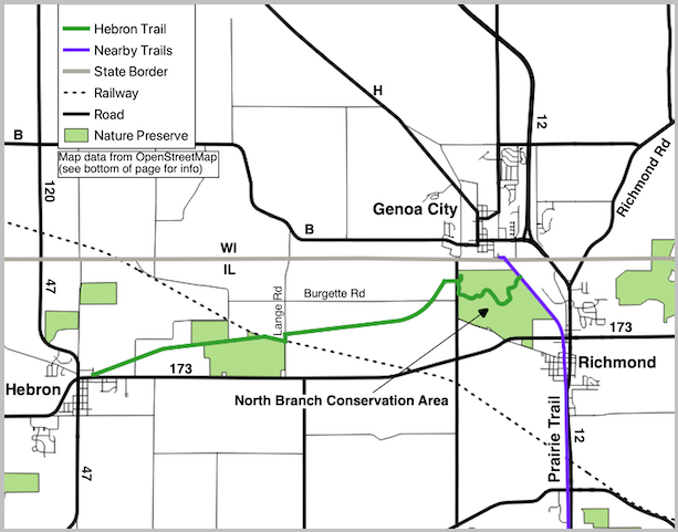
Static Map: Hebron Trail
Map data from OpenStreetMap has been used to generate the route maps on this website. OpenStreetMap data is available under the Open Data Commons Open Database License. The OpenStreetMap copyright page provides relevent copyright and licensing information.
Several Javascript libraries have been used to create features for this website. For more information, visit the About page.
