Chicago Bike Routes
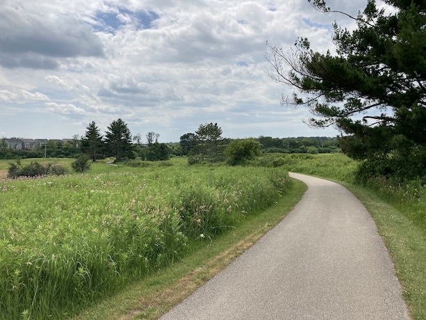
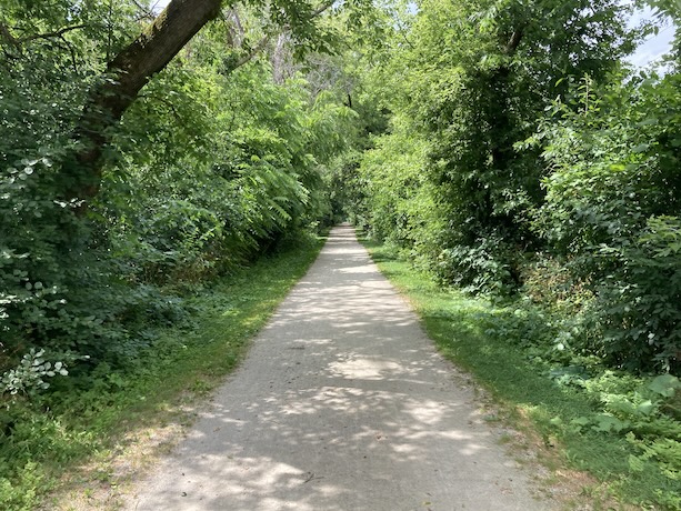
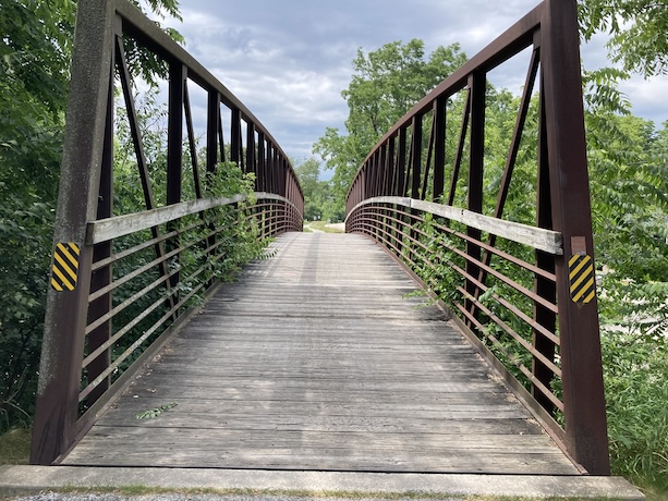
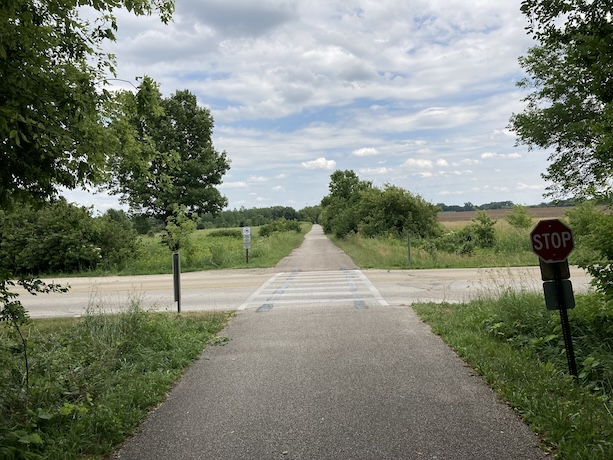
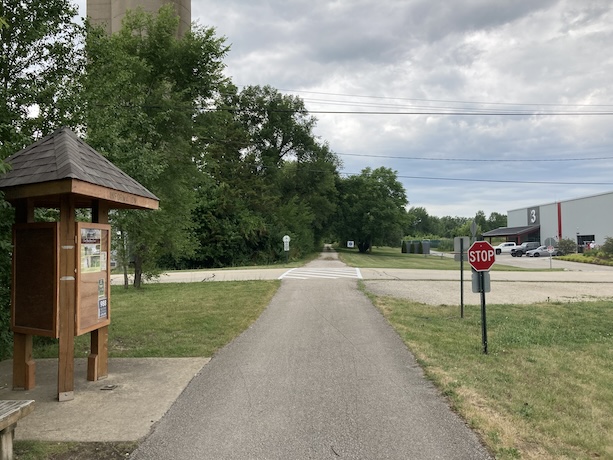
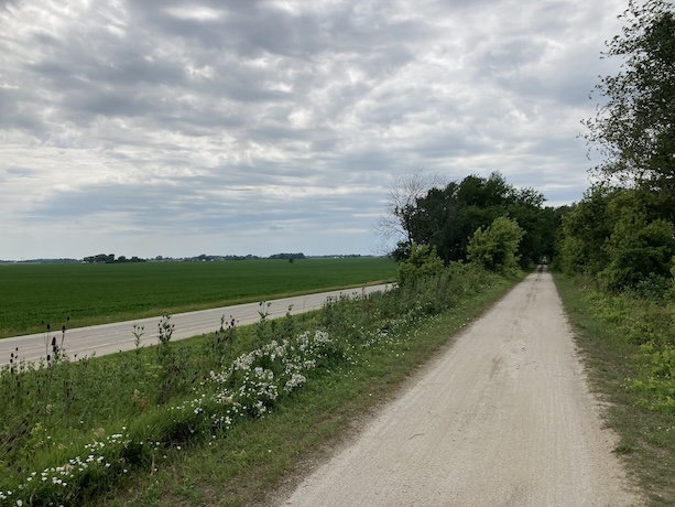
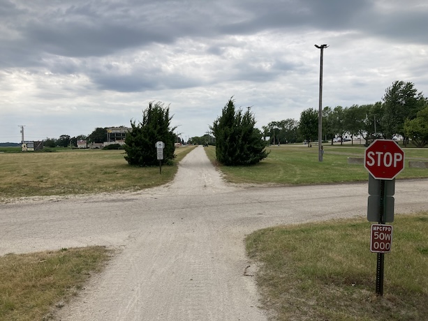
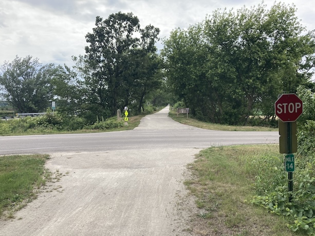
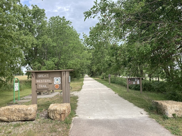
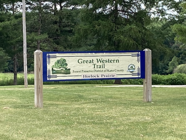
Great Western Trail (West)
Posted: 8/30/2024
Route Details
- Distance: 18.2 miles
- Route Type: Mostly dirt
- Eastern Endpoint Landmark: LeRoy Oaks Forest Preserve in St. Charles, IL
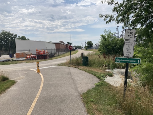
- Western Endpoint Landmark: Sycamore Forest Preserve in Sycamore, IL
- Communities on Route: St. Charles, Wasco, Lily Lake, Virgil, Sycamore
Other Nearby Routes
Zoomable Map: Great Western Trail (West)
Map data from OpenStreetMap has been used to generate the route maps on this website. OpenStreetMap data is available under the Open Data Commons Open Database License. The OpenStreetMap copyright page provides relevent copyright and licensing information.
Several Javascript libraries have been used to create features for this website. For more information, visit the About page.
